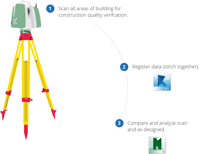
Assuring the quality of your construction has never been more reliable and user friendly. The most advanced hardware ensures that point clouds are captured with accuracy while innovative software translates reality capture into usable and informative data.
The partnership of Leica Geosystems and Autodesk gives you confidence in your construction with streamlined workflows and integrated solutions that guarantee your ability to stay ahead of the curve.
Import data directly into software for simplified workflow
Enables coordination, construction simulation, and whole-project analysis for integrated project review
One-touch button for fast scanning

Learn about the benefits of laser scanning and the primary considerations when evaluating this solution.
